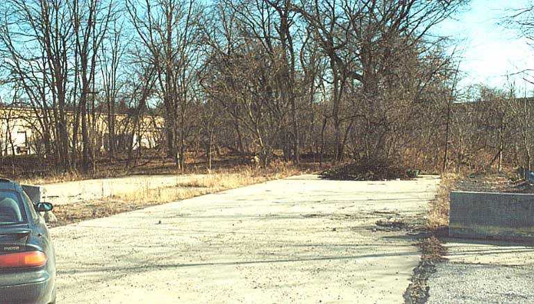
The Southern Stub of
the Industrial Highway. PA 60 (Steuben St.) is just to the south.
(Sandor Gulyas)

The Southern Stub of
the Industrial Highway. PA 60 (Steuben St.) is just to the south.
(Sandor Gulyas)
The Industrial Highway would border Broadhead Manor, a public housing development. It would then turn northeast to run through the Sheraden Neighborhood. The final leg would run east to PA 51 (Stanhope St.) in Esplen. From looking at Terraserver, it is possible that some right-of-way clearing exists in Sheraden, and a small stub runs from Stanhope St. before PA 51 North crosses Chartiers Creek.

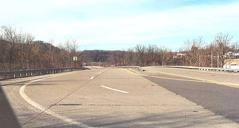
Looking North on the
Industrial Highway towards Broadhead Manor. The roadway is consistent
with PennDot roadway designs of the 70s. (Sandor
Gulyas)
The Industrial Parkway would only make it as far as Broadhead Manor. Oddly, some maps of the City of Pittsburgh from that era show the roadway completed. A 1974 Gulf/Rand McNally shows the route as completed. What could have been an excellent link from McKees Rocks to Crafton currently sits empty with little if any use in the future. A possible alternative to the Parkway West and the West End Circle is now referred to by some locals as the "Highway to Nowhere."

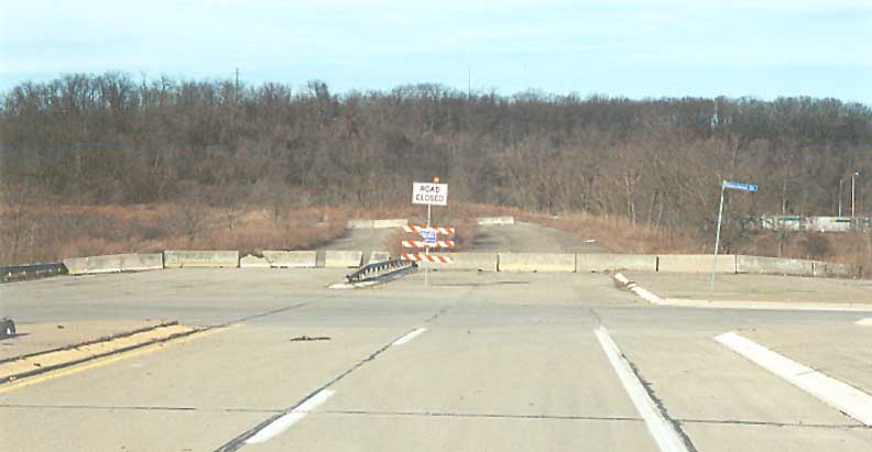
The North Stub of the
Industrial Highway near Broadhead Manor. (Sandor
Gulyas)
Page Created: August 10, 2002
Last Updated: August 10, 2002
(C) 2002 William Lawson